
MBS RXS Hydrographic Software
RXS Tools, Hydrographic Software is a complete river cross-section solution for Land and Hydrographic Surveyors. It’s used as a tool for the production of data for flood defence management and channel maintenance in the form of reports and plotted CAD data.
Running within the AutoCAD® environment, it allows complete processing of field data into finished cross-section and long-section CAD drawing files. Location photos can be linked in, and the software uses a single sectional model throughout, allowing exports in various formats for use by the Environment Agency and Hydrographic Modellers.
Benefits of using MBS RXS Hydrographic Software
- Outputs to EACSDF and all major hydraulic modelling software packages
- Fast automatic generation of sections to sheet layouts
- Accurate updates of long-section from cross-section data
- Flexible data input via GPS, total stations, staff or tape
Overview
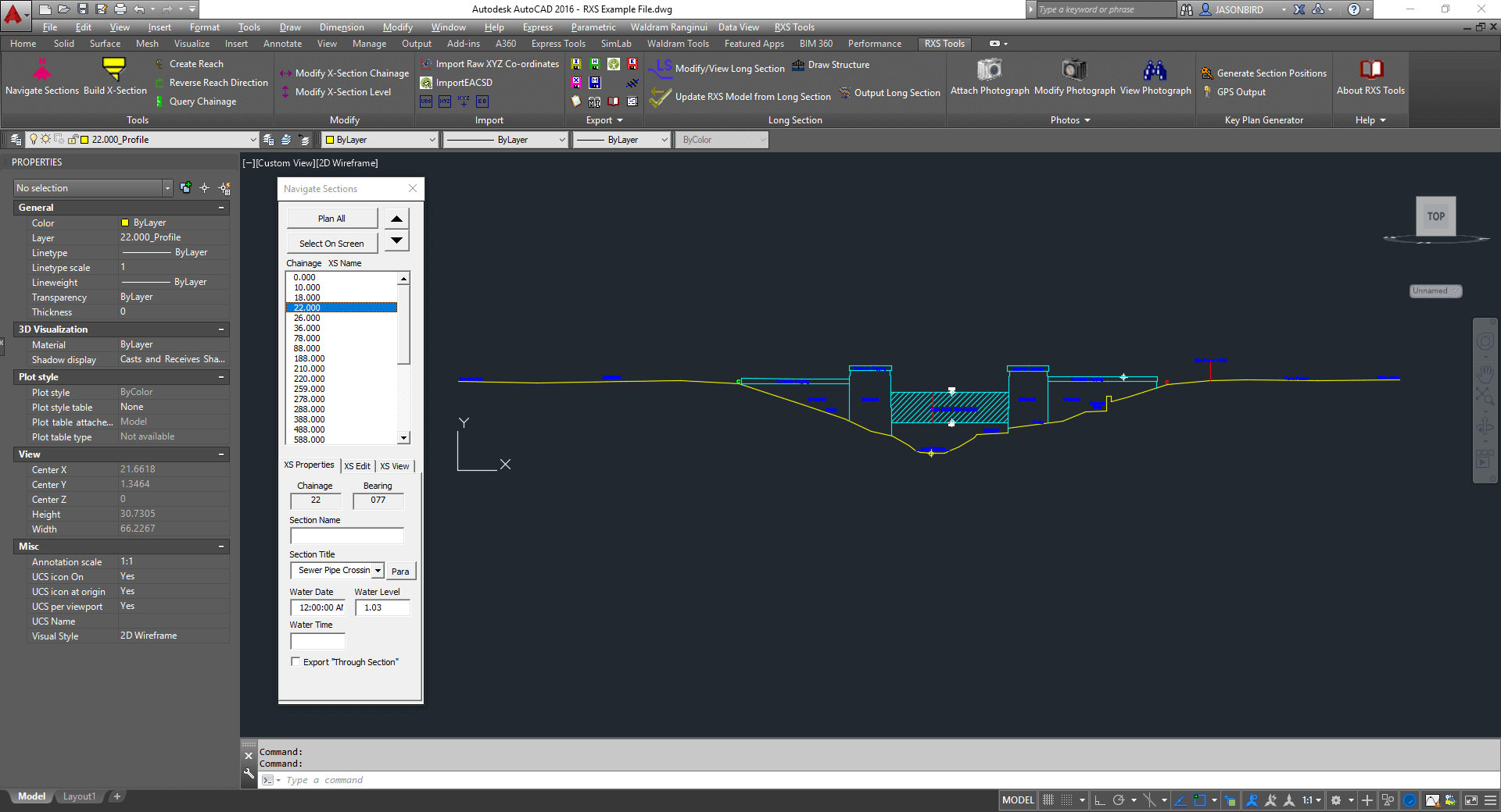
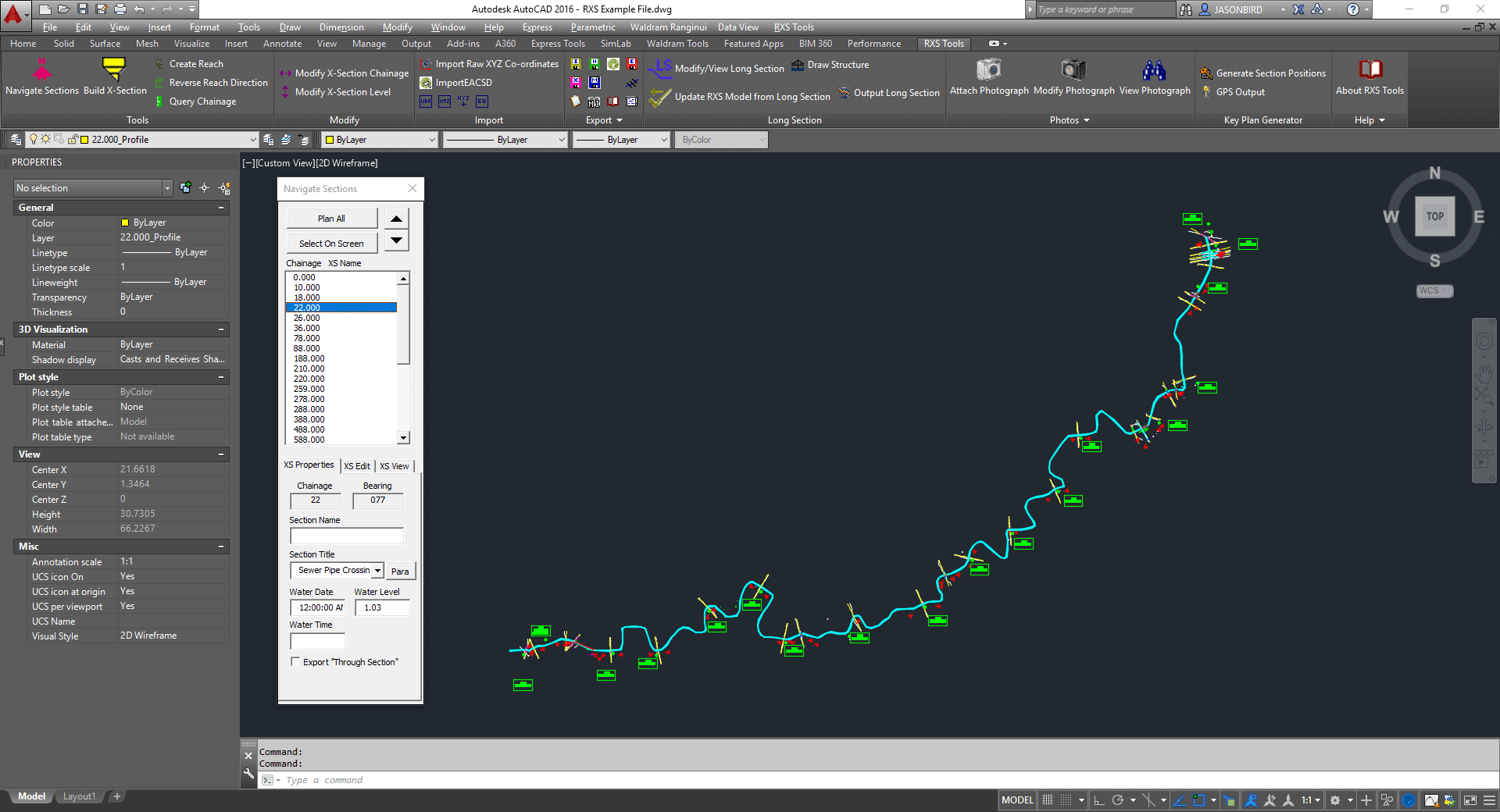
RXS imports coded cross section data collected in the field and creates a 3d sections in their true locations.
The sections are then edited in 2d but in their true 3d location. maintaining the section data as a model enables automatic output of the longsection.
Output to all the major hydrographic software packages are supported including the Environment Agencies EACSD format.
Benefits
- Automatic Long section generation
- Sections exported to sheets
- Exports to EACSD, HECRAS and River Modeller
- Works inside AutoCAD